Michigan State Ferry System / Michigan State Car Ferries

In 1923, in response to increasing automobile traffic, the Michigan Highway Department established the Michigan State Ferry System to connect the Upper and Lower Peninsulas by transporting travelers and their automobiles across the Straits of Mackinac. During the first year, the ferry Ariel, with a capacity of 15 to 20 vehicles per trip, carried 10,351 vehicles. By 1953 the highway department had invested $15 million in five ferries. The state built docks here and at St. Ignace. As the demand for service grew, passengers could wait more than ten hours, especially during deer hunting season. The ferries ran until 1957 when the Mackinac Bridge opened, and the dock was leased to public and private interests.The Michigan Highway Department operated car ferries between Mackinaw City and St. Ignace for thirty-four years beginning in 1923. The first vessel, Ariel, was a small wooden boat built in 1881 as a river ferry. Unsuited to the rough waters of the Great Lakes, Ariel was relocated in 1926 to carry passengers between Port Huron and Sarnia, Canada. The State Ferry System operated five vessels during the summer season and contracted with the Mackinac Transportation Company to carry automobiles on Chief Wawatam and Sainte Marie during the winter. The “Era of the State Ferries” officially ended on November 1, 1957, when the first vehicles crossed the Mackinac Bridge.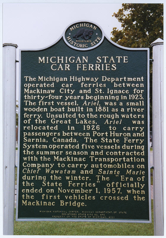
Plaque via Michigan History Center