Gogebic Iron Range

The Gogebic was the last of the three great iron ore fields opened in the Upper Peninsula and northern Wisconsin. Beginning in 1848 with Dr. A. Randall, federal and state geologists had mapped the ore formations almost perfectly long before any ore was mined. One geologist, Raphael Rumpelly, on the basis of his studies in 1871, picked out lands for purchase which years later became the sites of the wealthy Newport and Geneva mines. The first mine to go into production was the Colby. In 1884 it shipped 1,022 tons of iron ore in railroad flat cars to Milwaukee. By 1890 more than thirty mines had shipped ore from this range. Many quickly ran out of good ore and had to close. Others took their places as richer ore bodies were found. Virtually all mining here has been underground, as attested by many shafts and “cave-ins.” The soft hematite ores common on this range usually have been sent in ore cars to Ashland and Escanaba, there to be loaded in ore boats and taken to America’s steel mills.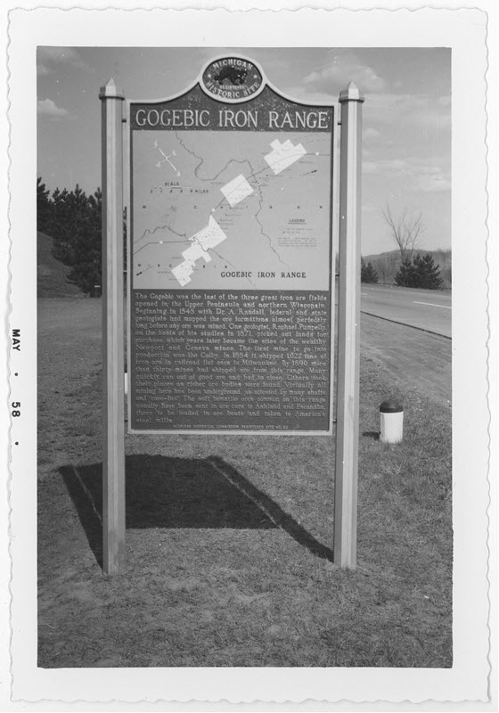
Plaque via Michigan History Center