Castle Frank Brook
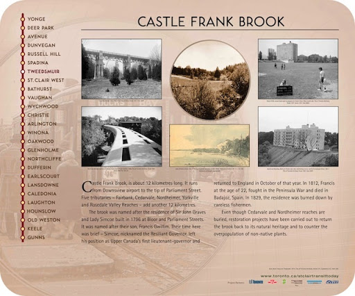
Castle Frank Brook is about 12 kilometres long. It runs from Downsview airport to the tip of Parliament Street. Five tributaries - Fairbank, Cedarvale, Nordheimer, Yorkville and Rosedale Valley Reaches - add another 12 kilometres.
The brook was named after the residence of Sir John Graves and Lady Simcoe built in 1796 at Bloor and Parliament Streets. It was named after their son, Francis Gwillim. Their time here was brief - Simcoe, nicknamed the Resilient Governor, left his position as Upper Canada's first lieutenant-governor and returned to England in October of that year. In 1812, Francis at the age of 22, fought in the Peninsula War and died in Badajoz, Spain. In 1829, the residence was burned down by careless fishermen.
Even though Cedarvale and Nordheimer reaches are buried, restoration projects have been carried out to return the brook back to its natural heritage and to counter the overpopulation of non-native plants.
Plaque via Alan L. Brown's site Toronto Plaques. Full page here.