

Indian Trail

Indian Trail Became about 1826 stage road from Augusta, GA to Montgomery, ALA. Marked 1935 by John Houston Chapter of D.A.R. Thomaston, GA Plaque courtesy Lat34North.com. Original page, with...
- lat34
Auchumpkee Creek Covered Bridge

This bridge, 120 ft. long spanning 96 feet, was built in 1892 by the firm of Herring and Alford, using the town lattice construction. Its cost of $1,199 was funded by the Upson County...
- lat34
Placed in Memory of James Hightower
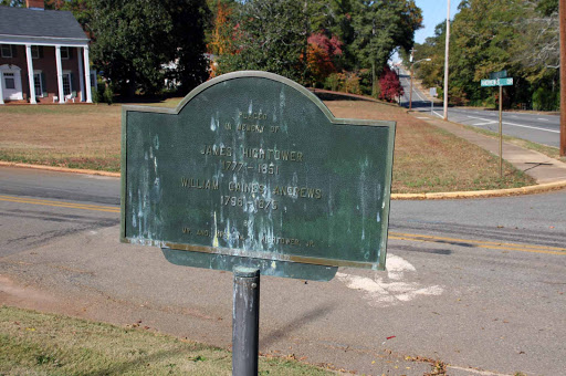
James Hightower 1777 - 1851 William Caines Andrews 1796 - 1875 By Mr. and Mrs. Wm. H. Hightower, JR. Plaque courtesy Lat34North.com. Original page, with additional info, here. Photo credit:...
- lat34
Upson County Electric Membership Corp. Thomaston
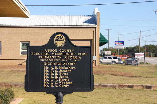
UPSON COUNTY ELECTRIC MEMBERSIP CORP. THOMASTON, GEORGIA INCOPORATED MAY 10, 1937 INCOPORATORS Mr. A.B. McEachern Mr. T.S. Jackson Mr. W.B. Butts Mr. R.B. Jones Mr. J.T. Harris Mr. J.C. Woodson...
- lat34
Trice Cemetery

Trice cemetery, the largest family burial round in Upson County, Georgia, was established by William and Jane Tamplin Trice whose house once stood 300 yards west of the cemetery. William (1789-...
- lat34
Circa 1830 Pettigrew-White- Stamps House

Circa 1830 Pettigrew - White - Stamps House Home of the Upson HIstorical Society Plaque courtesy Lat34North.com. Original page, with additional info, here. Photo credit: Byron Hooks of Lat34North.com.
- lat34
Confederate Dead

Here rest 34 Confederate soldiers, all of whom died in the Confederate hospitals located in Thomaston. These men came from seven of the Confederate states. Only six are `unknown` graves. Hospitals...
- lat34
Unknown Confederate Dead

Here lie twelve Confederate soldiers, `known but to God`, who died of disease and wounds, 1864- 1865, in the General Hospital, Georgia State Line, located near this spot. Dr. A.P.Brown was...
- lat34
Upson County

This County, created by Acts of the Legislature December 15 and 20, 1824, is named for Stephen Upson, a well known lawyer of Lexington, Ga. Lt. Gen. John B. Gordon, famed Confederate leader called...
- lat34
Track Rock Petroglyph 4

There was common belief among Native Americans that spirits Animals underground, so, when game animals disappeared that is where they were to be found. Animals would enter and exit through...
- lat34
Track Rock Petroglyph 3

While it is difficult to specifically identify many of the carvings, the following figures have been positively identified. Can you find these symbols? Human Figures Human Foot Bear Track...
- lat34
Track Rock Petroglyph 2
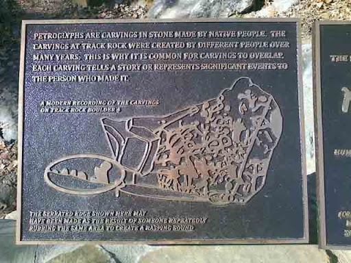
Petroglyphs are carvings in stone made by native people. The carvings in track rock were created by different people over many years. This is why it is common for carvings to overlap. Each...
- lat34
Track Rock Petroglyph 1

Track rock gap is one of the most significant rock art sites in the southeastern United States. It consists of six table sized soapstone boulders, containing hundreds of symbols and figures....
- lat34
Byron Herbert Reece
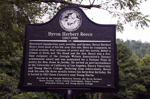
Renowned Appalachian poet, novelist, and farmer, Byron Herbert Reece lived most of his life near this site. Here he composed, to critical acclaim, four volumes of poetry and two novels, Better...
- lat34
Blue Star Memorial
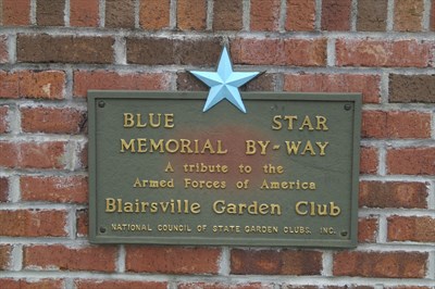
Blue Star Memorial By-Way A tribute to the Armed Forces of America Blairsville Garden Club, National Council of State Garden Clubs, Inc. Plaque courtesy Lat34North.com. Original page, with...
- lat34
Trackrock Gap

The road leading south crosses Trackrock Gap, two miles from here. Soapstone boulders in the gap are covered with tracks, symbols, and patterns carved in the rocks by primitive man. The gap was...
- lat34
Brasstown Bald
![The high rounded peak to the south with lookout tower is Brasstown Bald or Mount Enotah, the highest mountain in Georgia 4,748 [Sic] feet above sea level. [The correct elevation is 4,784 ft.] Its...](http://lh3.googleusercontent.com/hfOVRPsIBfj8_MAFyIecADBmUjxaitGsXxtLVQozcbEXDcpg5MLVJ45yOv2qLh7O6IsuqIneXFEG1VH2lbFlFP3KZFpY)
The high rounded peak to the south with lookout tower is Brasstown Bald or Mount Enotah, the highest mountain in Georgia 4,748 [Sic] feet above sea level. [The correct elevation is 4,784 ft.] Its...
- lat34
Homesite of Joseph Emerson Brown
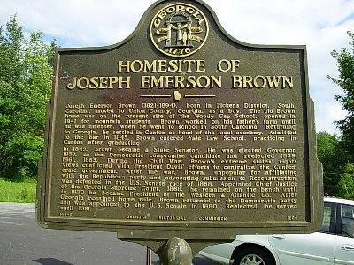
Joseph Emerson Brown (1821- 1894), born in Pickens District, South Carolina, moved to Union County, Georgia as a boy. The old Brown home was on the present site of the Woody Gap School, opened...
- lat34
Union County

Union County was created by Act of Dec. 3, 1832 from Cherokee. Originally, it contained part of Fannin and Towns Counties. In 1832 there was much discussion over Union and States` rights....
- lat34
Blood Mountain, Elevation 4458 Ft.-Chattahoochee
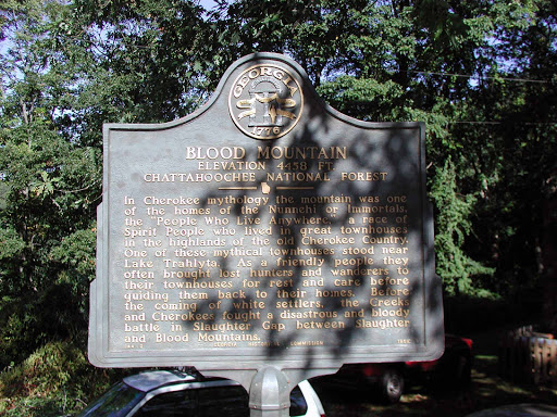
In Cherokee mythology the mountain was one of the homes of the Nunnehi or Immortals, the `People Who Live Anywhere,` a race of Spirit People who lived in great townhouses in the highlands of the...
- lat34