
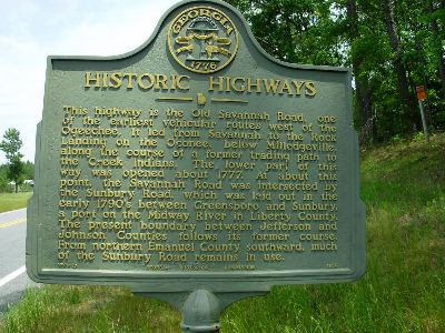
Historic Highways
This highway is the Old Savannah Road, one of the earliest vehicular routes west of the Ogeechee. It led from Savannah to the Rock Landing on the Oconee, below Milledgeville, along the course of a former trading path to the Creek Indians. The lower part of this way was opened about 1777. At about this point, the Savannah Road was intersected by the Sunbury Road, which was laid out in the early 1790`s between Greensboro and Sunbury, a port on the Midway River in Liberty County. The present boundary between Jefferson and Johnson Counties follows its former course. From northern Emanuel County southward, much of the Sunbury Road remains in use.
GHM 150-19 GEORGIA HISTORICAL COMMISSION 1956
GHM 150-19 GEORGIA HISTORICAL COMMISSION 1956
Plaque courtesy Lat34North.com.
Original page, with additional info, here.
Photo credit: Ken Moser.
Nearby Plaques
Loading…