
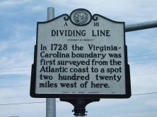
DIVIDING LINE
In 1728 the Virginia-Carolina boundary was first surveyed from the Atlantic coast to a spot two hundred twenty miles west of here.
Plaque via North Carolina Highway Historical Marker Program, and is used with their permission. Full page here (NC Marker ID A16)
Nearby Plaques
Loading…