
1815 Michigan Meridian
Ohio Historical Marker
1815 Michigan Meridian
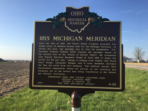
After the War of 1812, the United States Congress proposed two million acres of military bounty land for the Michigan Territory. To survey the land, the meridian had to first be established. U.S. Surveyor General Edward Tiffin created the meridian based on the western line of the Treaty of Detroit (1807). He contracted with Deputy Surveyor Benjamin Hough in April 1815 to begin the survey for $3 per mile. Taking a reading from Polaris (the North Star), Hough, Alexander Holmes, and 11 crew members surveyed the line due north from Fort Defiance. The difficult terrain they encountered temporarily halted all surveys in the territory and ultimately led to the bounty land being transferred to the Illinois and Missouri Territories.
NORTHWEST OHIO AND TOLEDO CHAPTERS PLSO
CENTRAL CHAPTER MSPS
JOSEPH D. FENICLE, PS
THE OHIO HISTORICAL SOCIETY
2016
4-26
Submitted by
Bryan Arnold
@nanowhiskers
Nearby Plaques
Loading…